
Follow the water
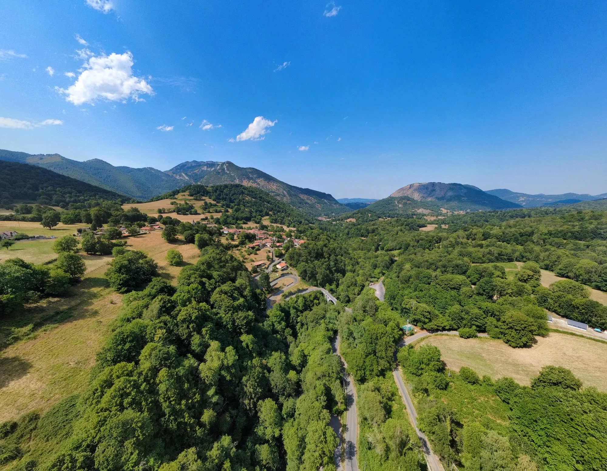
The Ourse, the springs and water-shaped landscapes provide the valley’s natural thread.
Since July 2026
Esbareich has been part of the Parc naturel régional Comminges Barousse Pyrénées since July 2026. Rivers, forests, villages and local skills shape a landscape to explore with care.
Choose your pace
The Barousse suits both a short outing and a full day away. Four directions are enough to choose from.
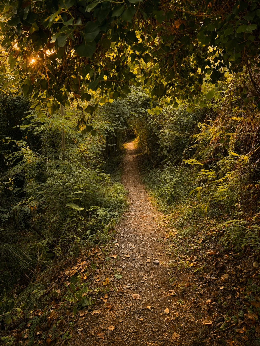
The Ourse, the springs and water-shaped landscapes provide the valley’s natural thread.
A village stroll, a woodland walk or a longer day higher up, depending on weather and energy.
Le Mourtis and the neighbouring valleys open different horizons in winter and summer.
Caves, castles, villages and an ancient city reveal several layers of history.
Read the landscape
This three-dimensional view places the Moulin within the Barousse landscape. At a glance, it explains why the property feels hidden while remaining close to the villages and roads that open up the valley.
Locate Au Moulin within the valley.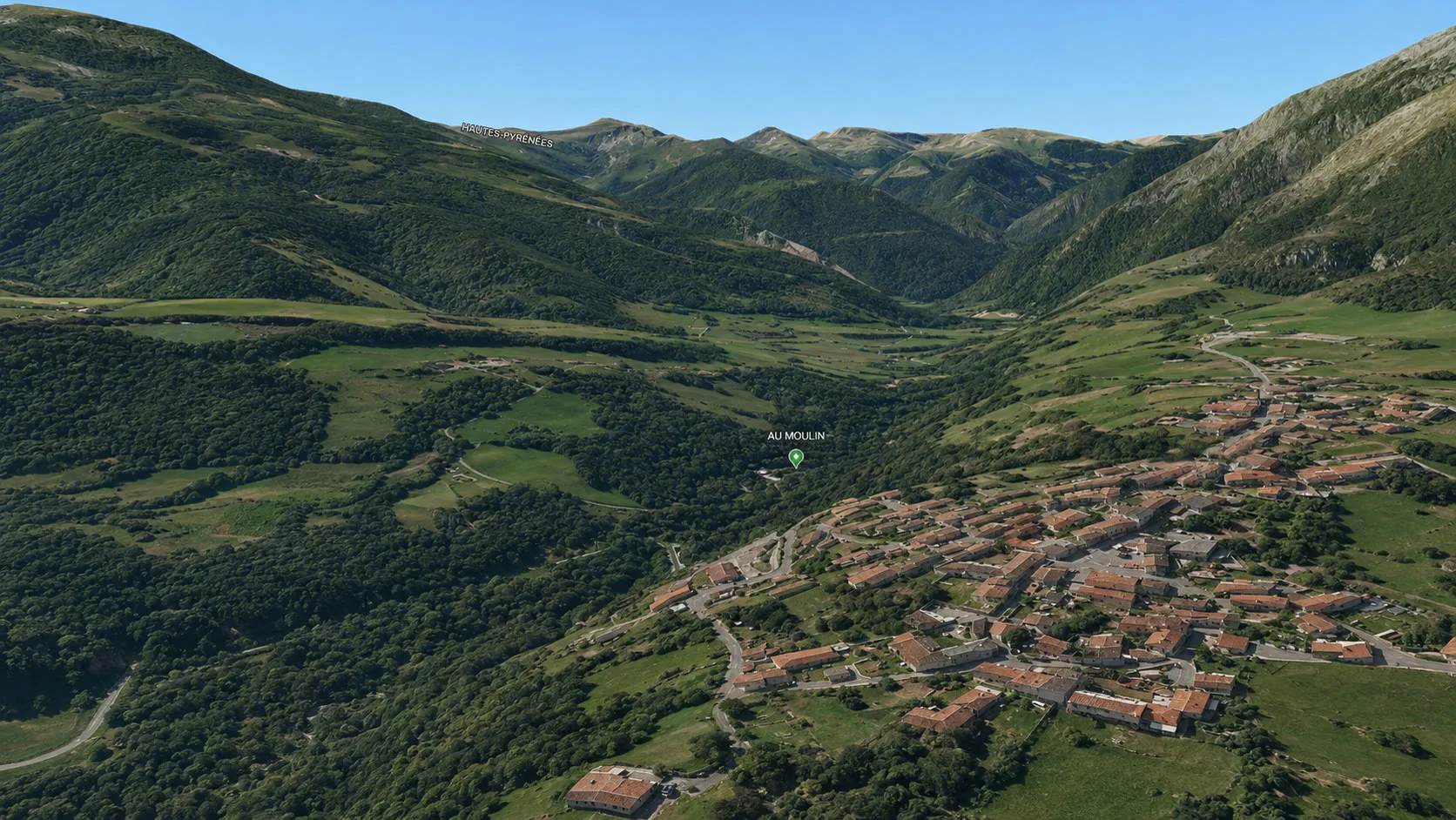
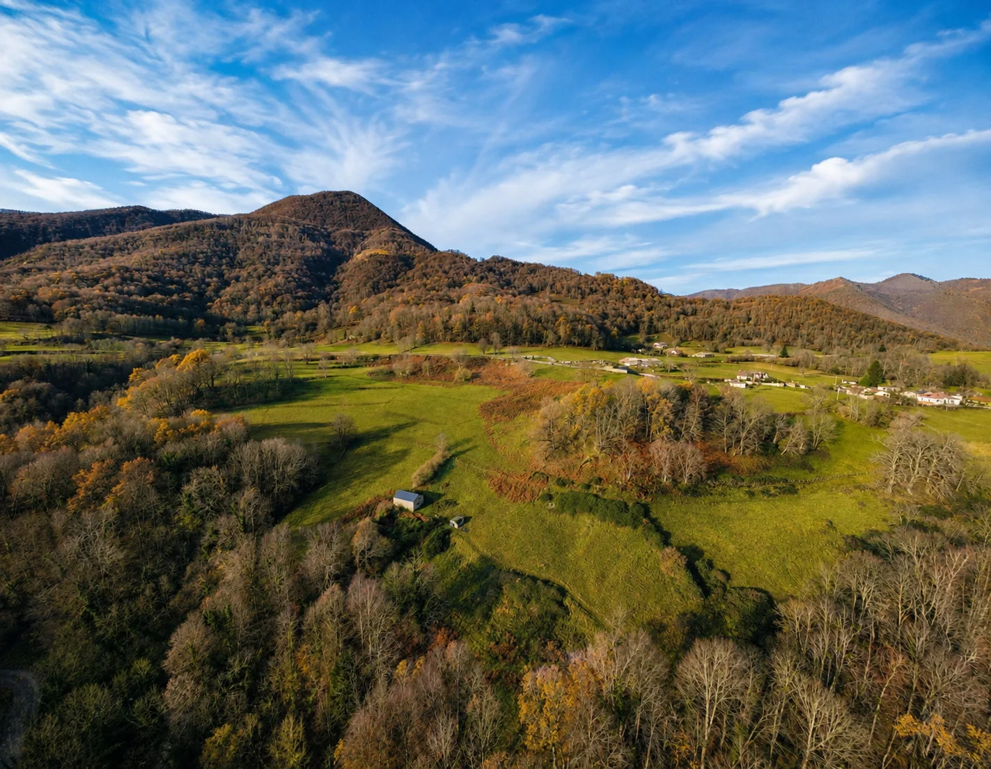
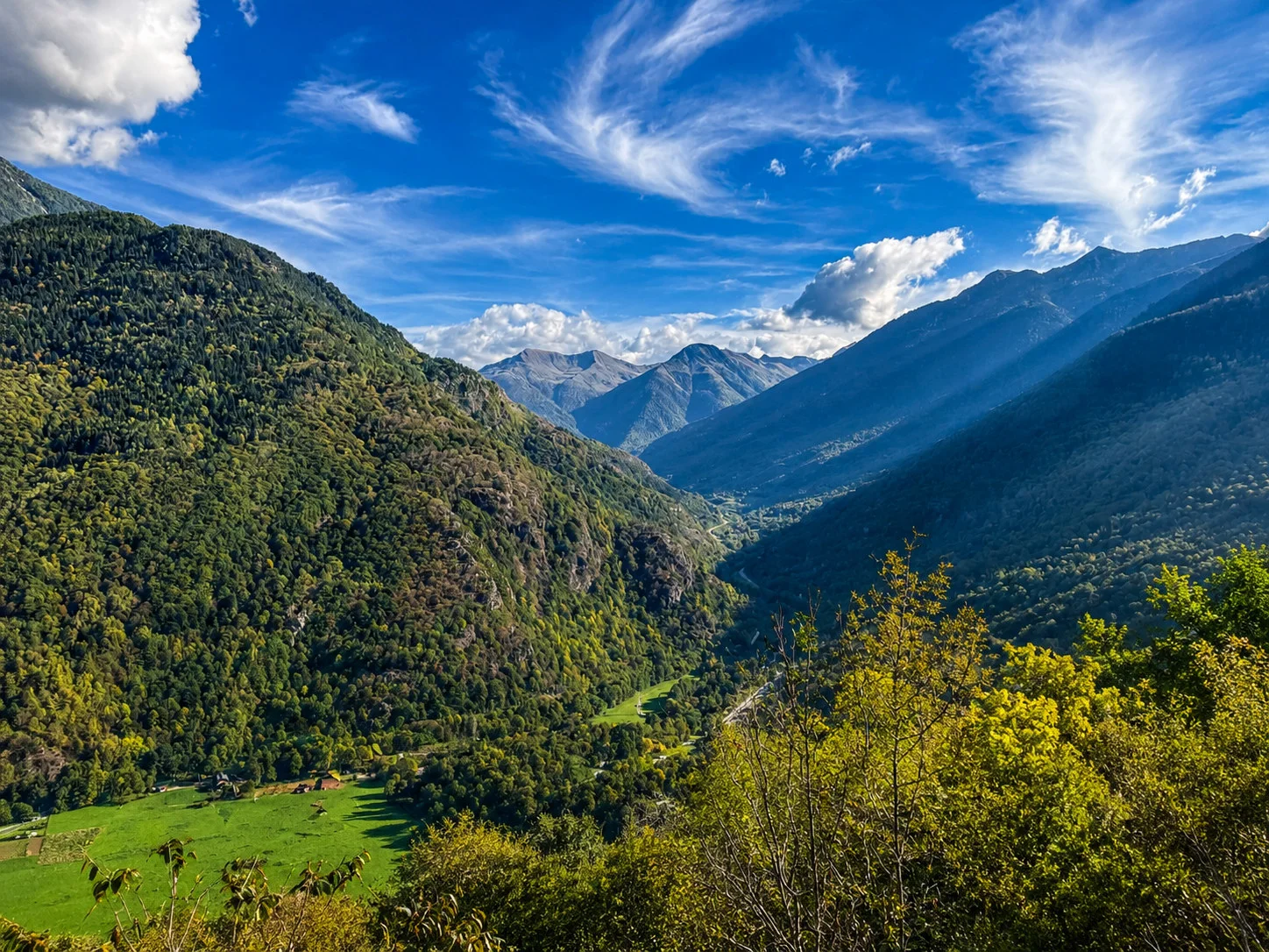
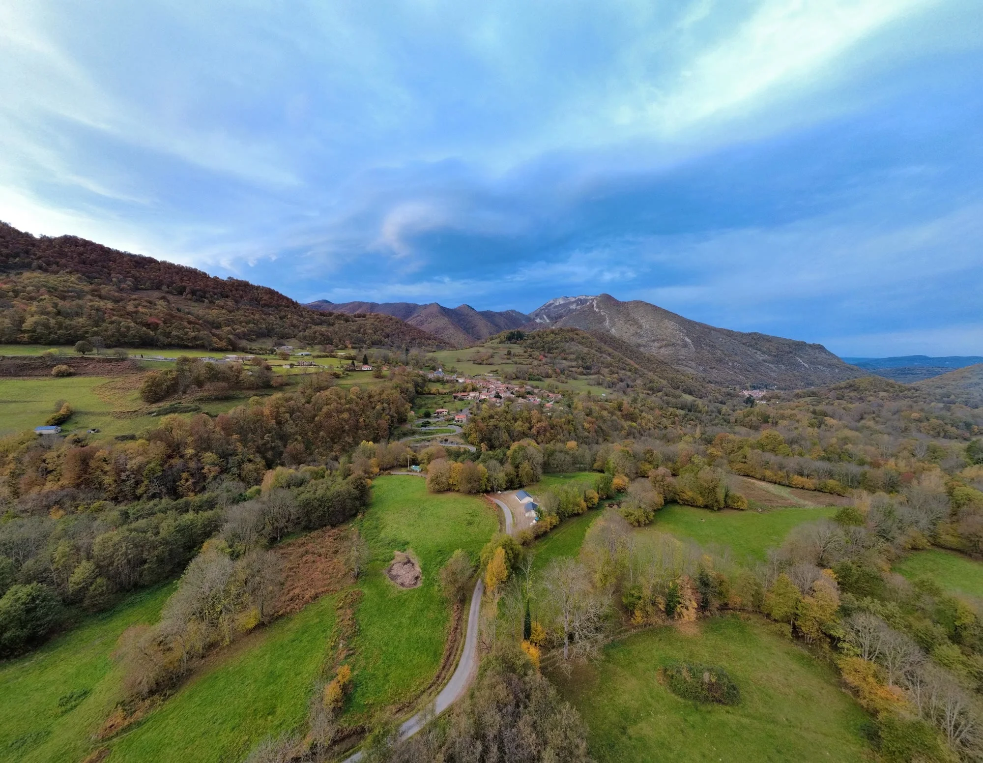
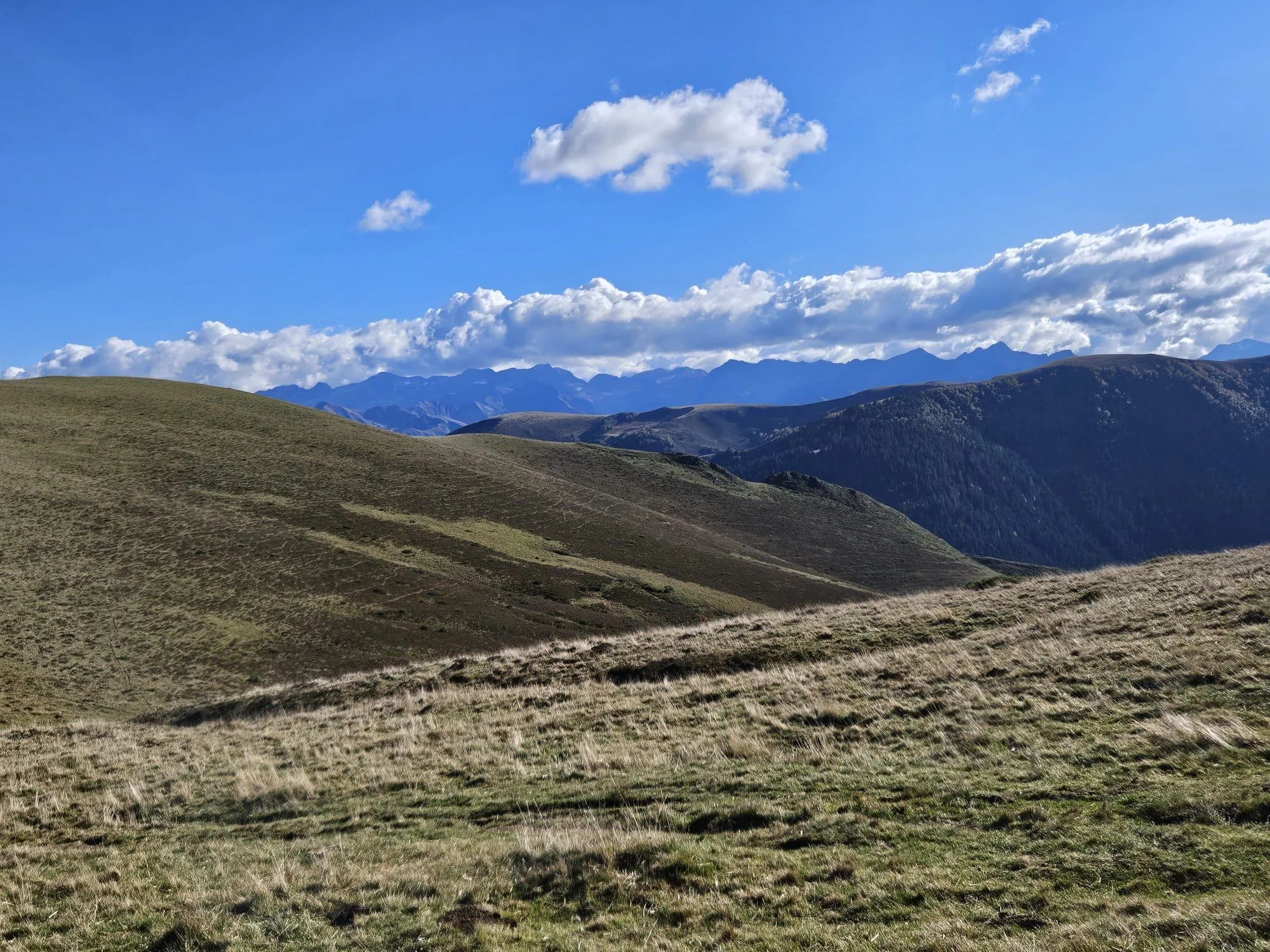
The Barousse in pictures
Four visual stories to feel the area before choosing a day out. Browse each one by touch, mouse or arrow controls.
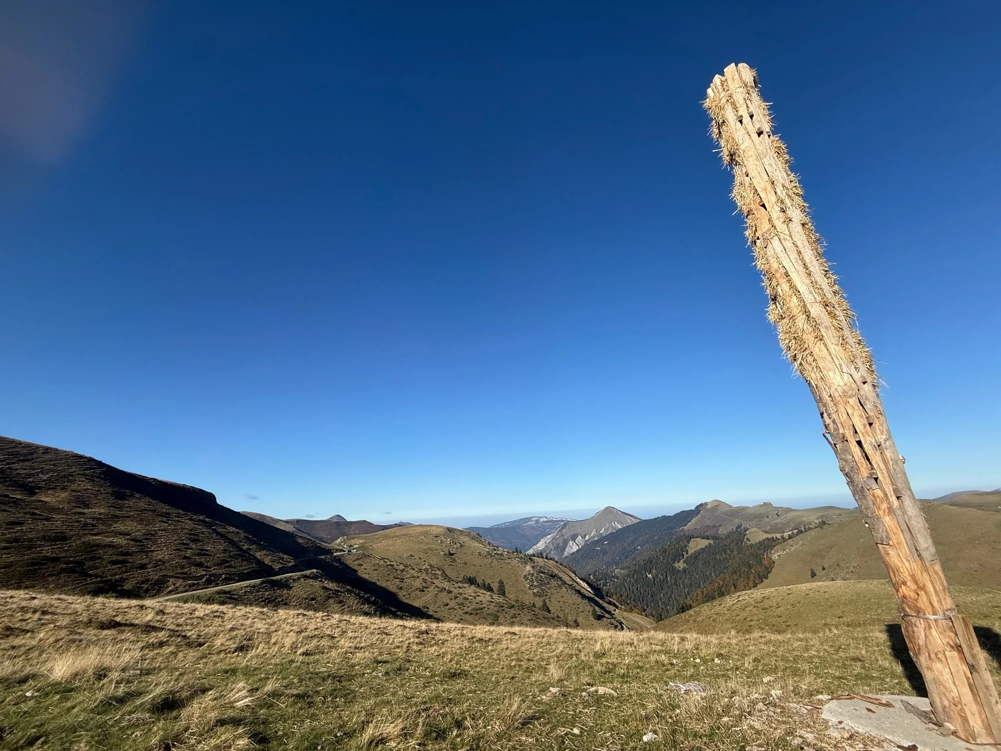
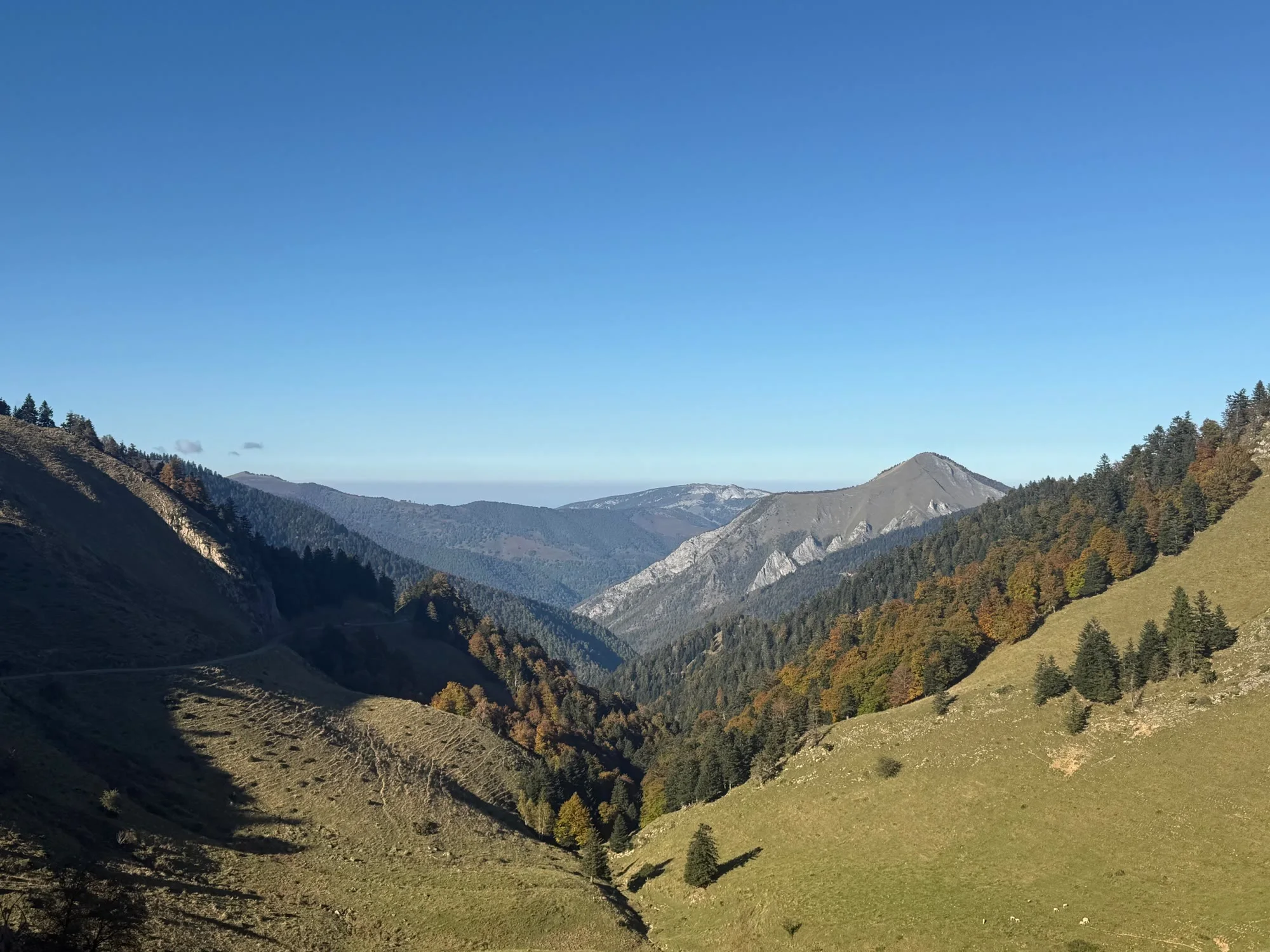
The valley, ridgelines and panoramas from the Col de Balès.
Photograph 1 of 7
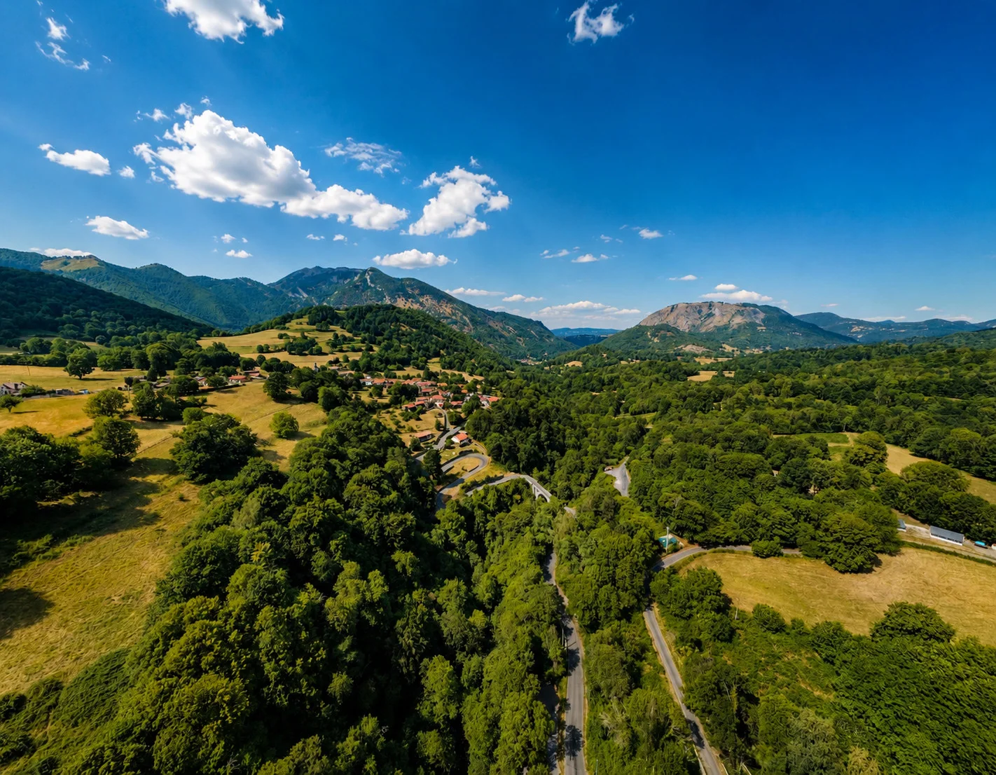
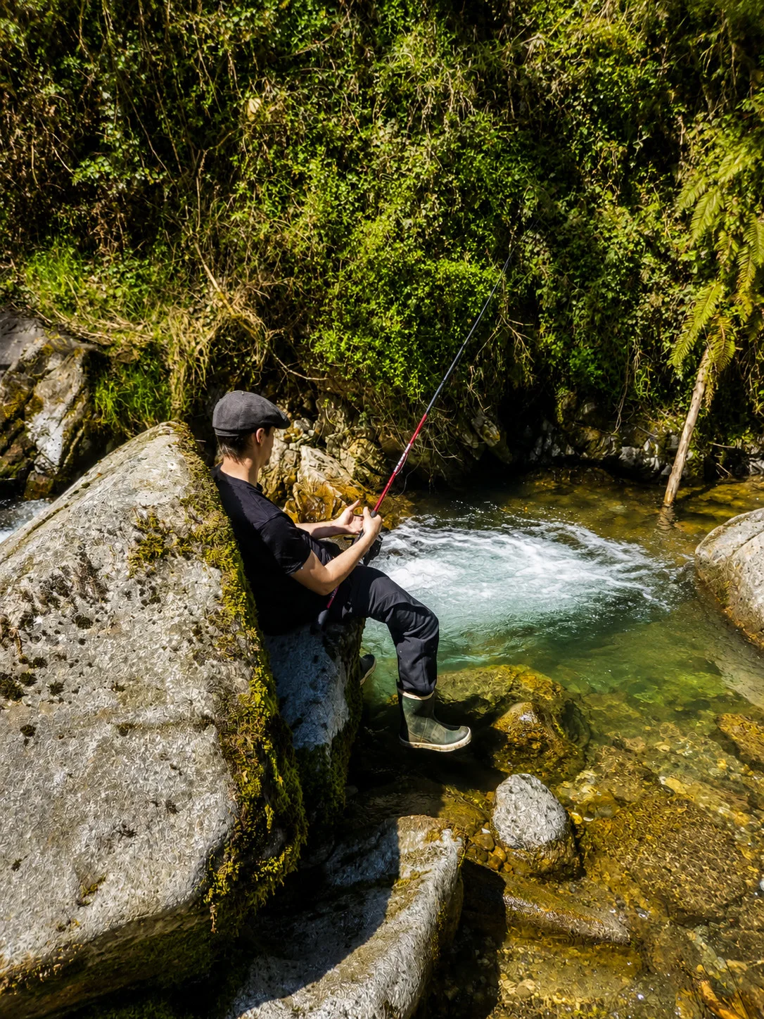
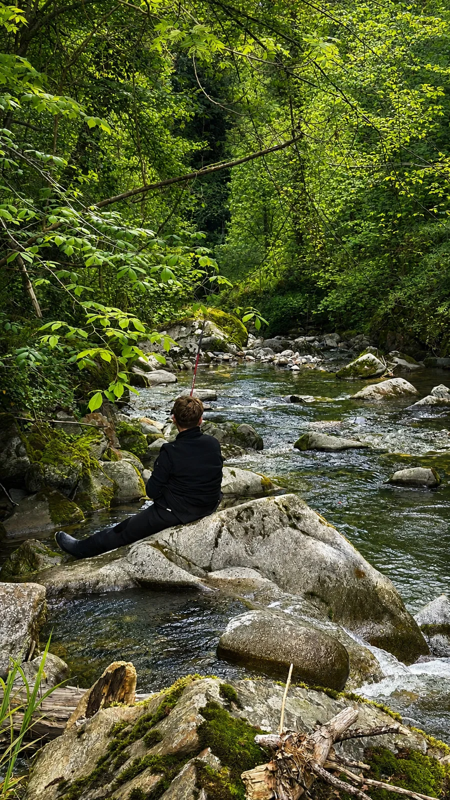
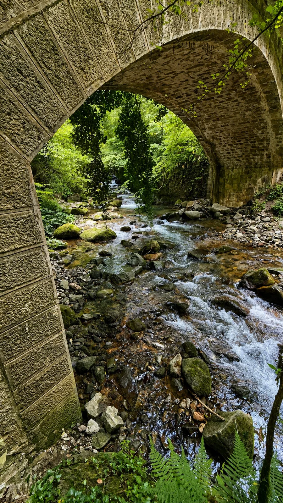
The river, the forest and a few moments spent fishing.
Photograph 1 of 4
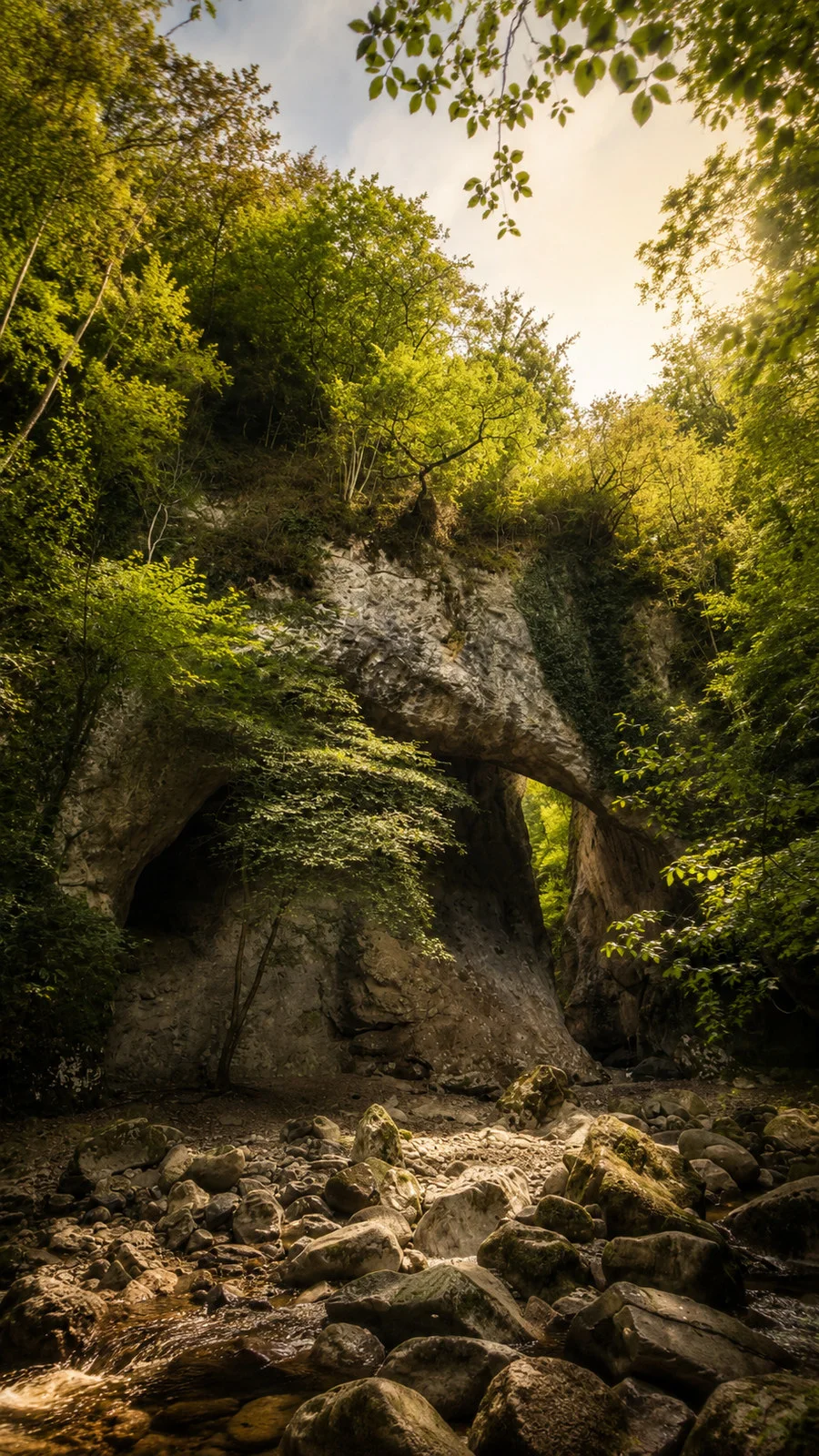
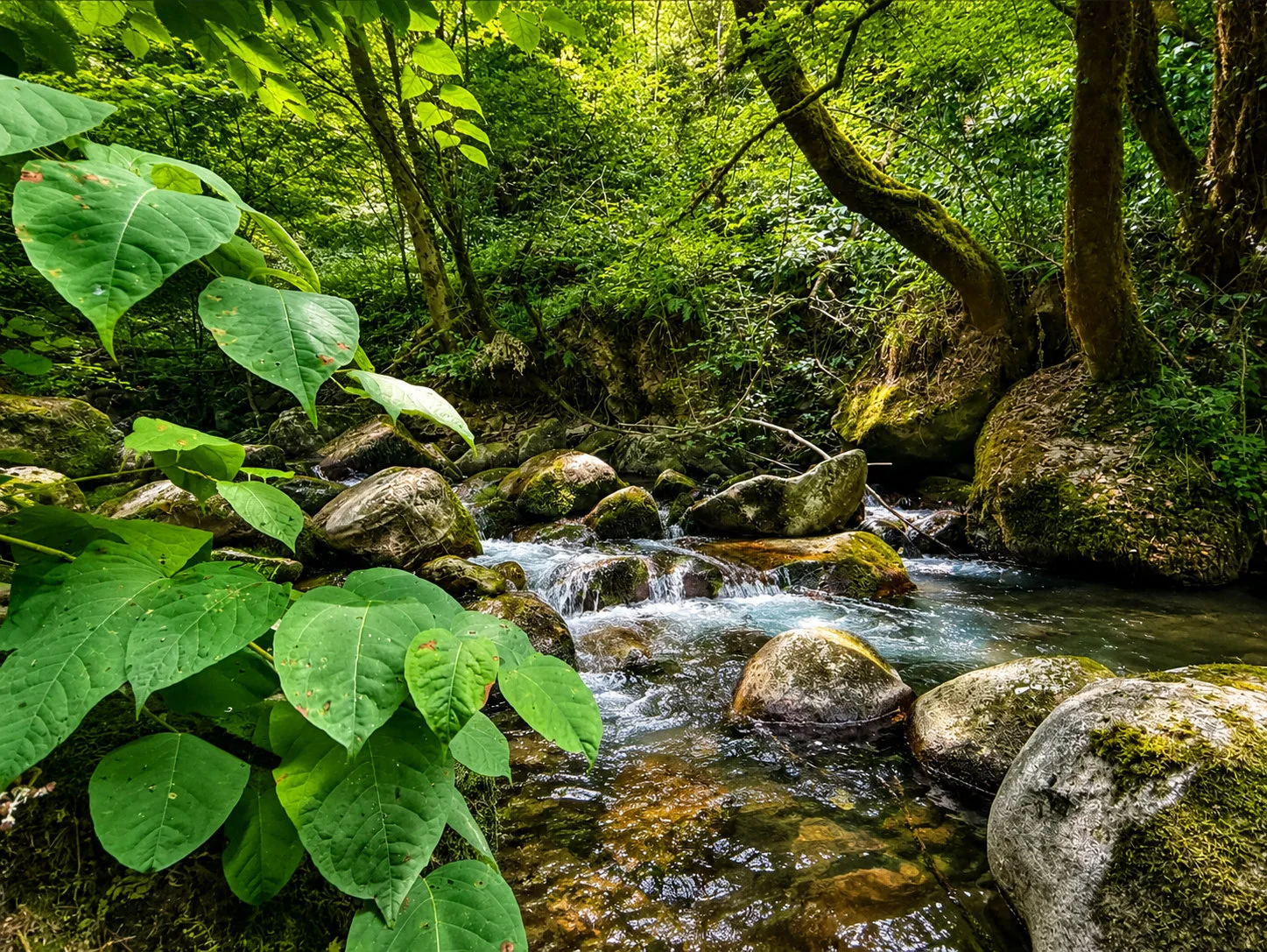
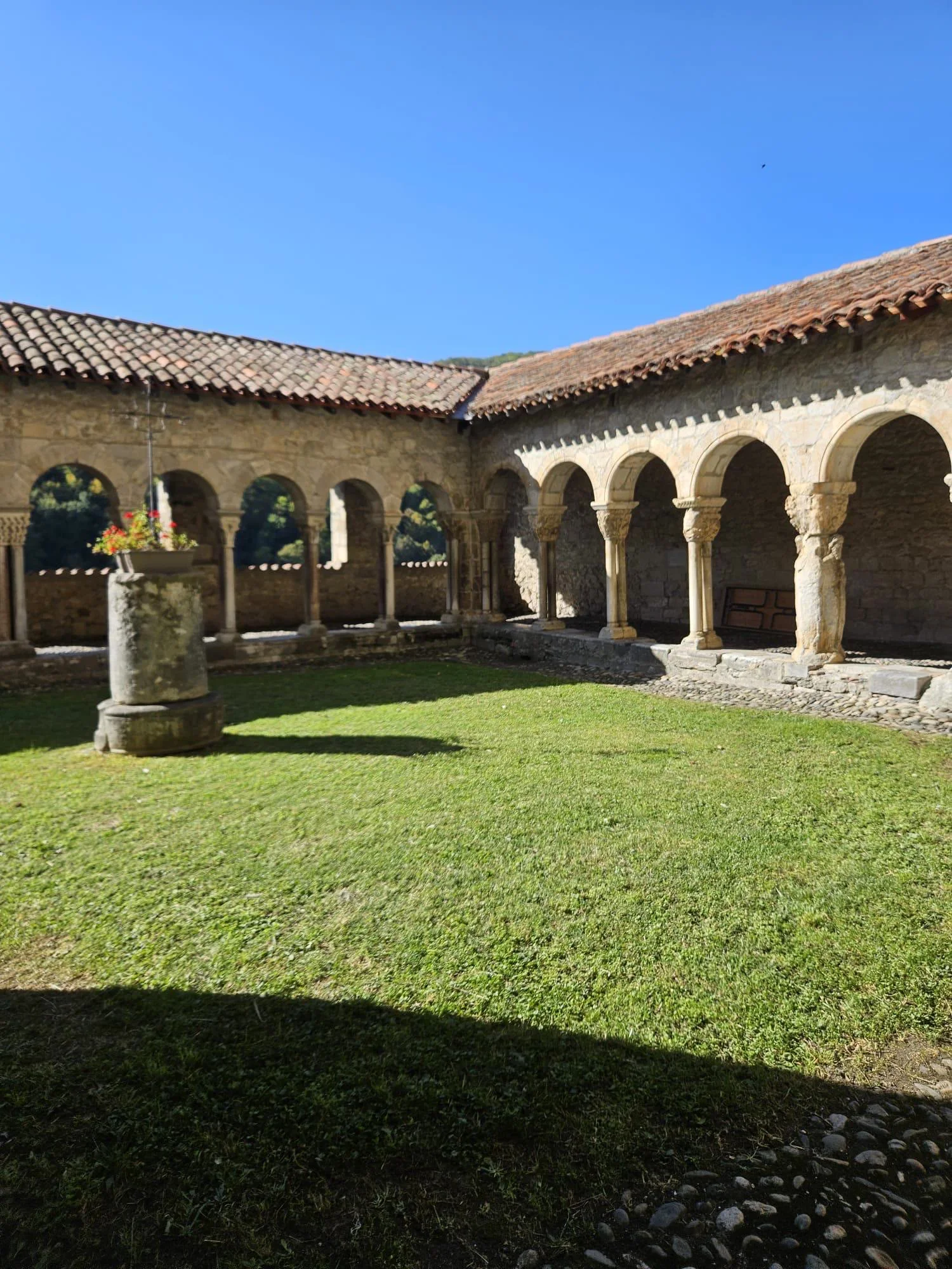
Sost, Bramevaque and Saint-Bertrand-de-Comminges.
Photograph 1 of 4
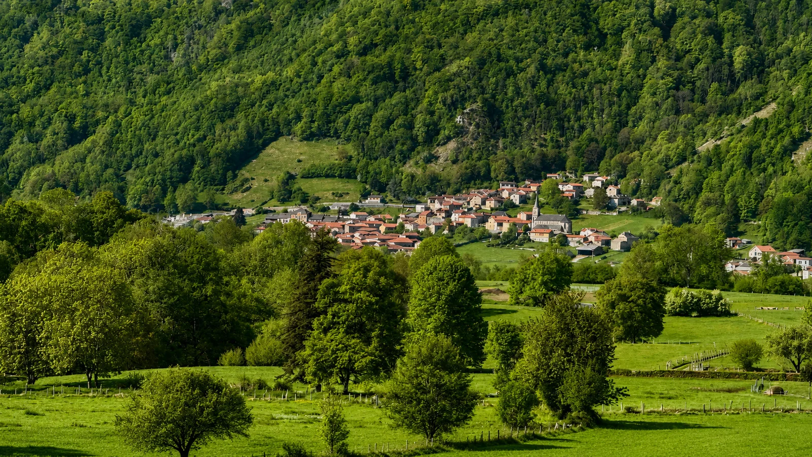
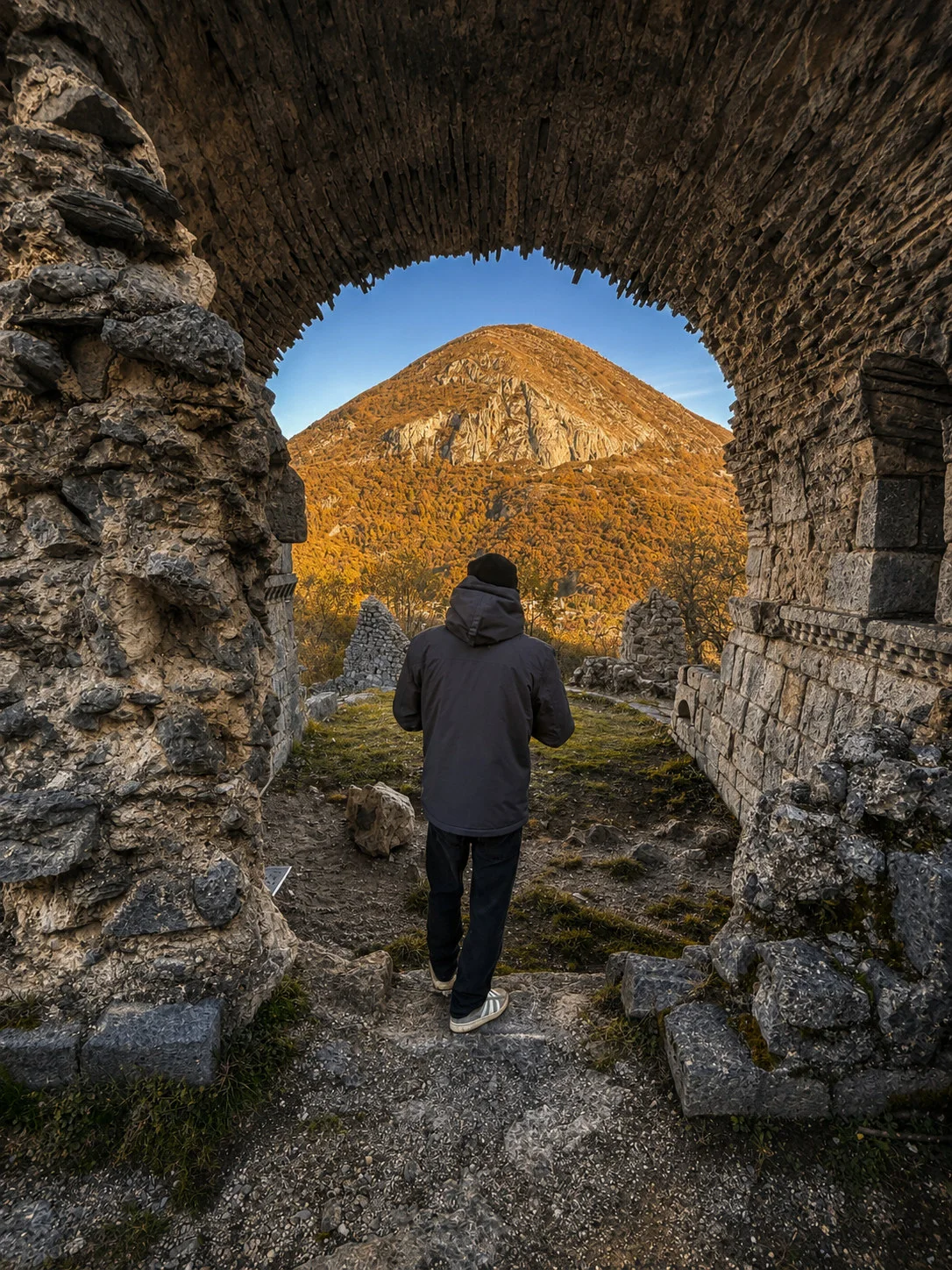
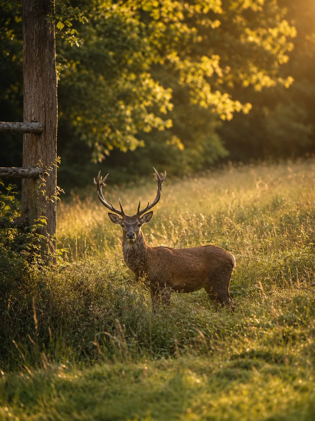
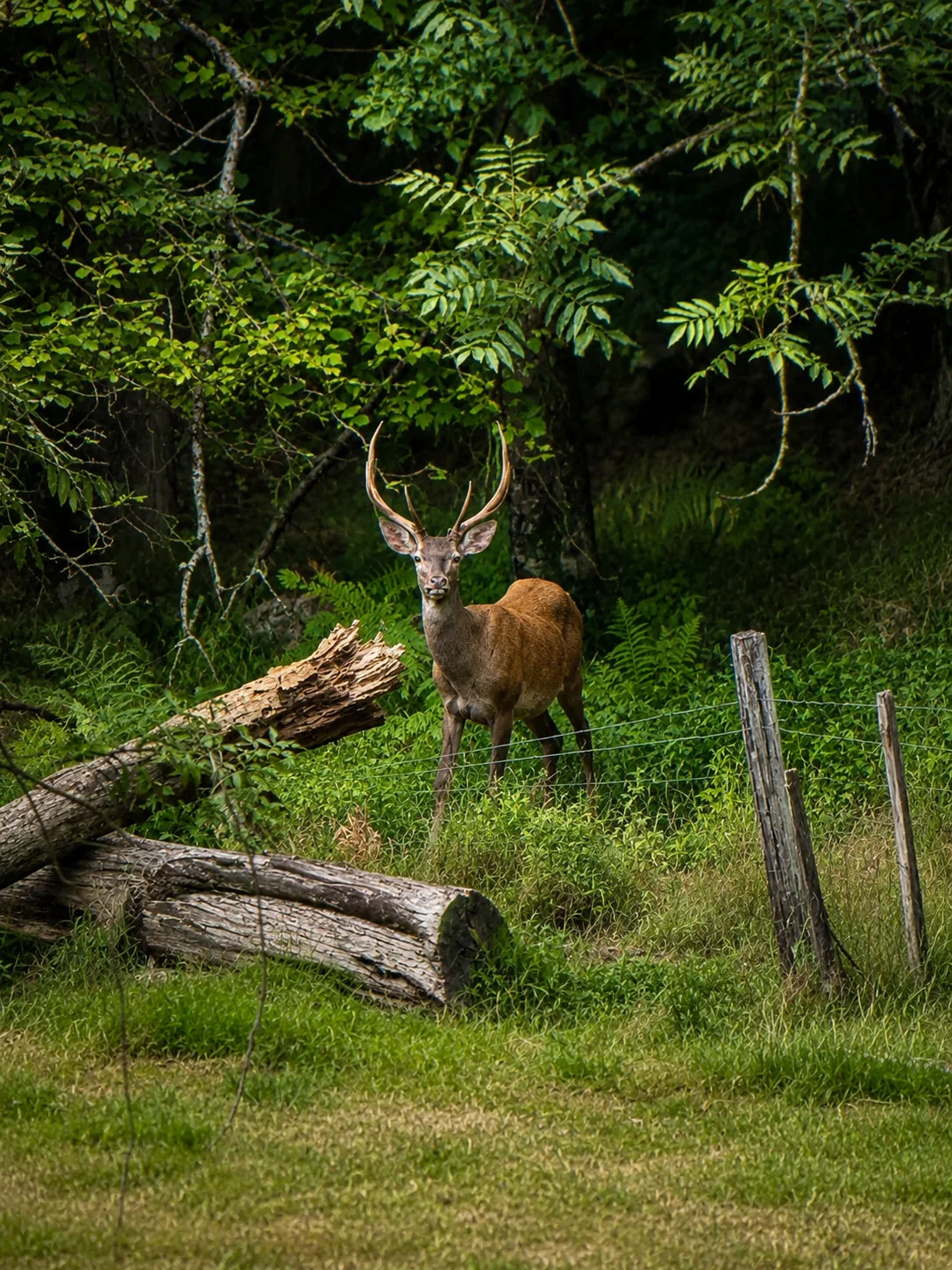
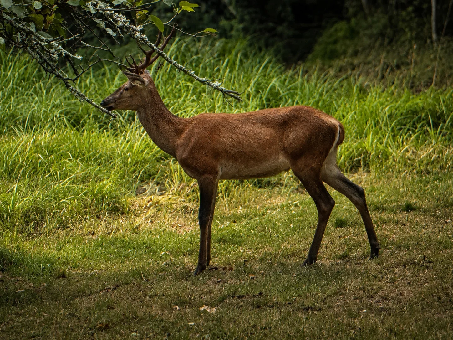
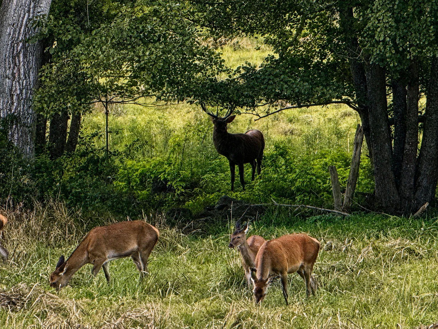
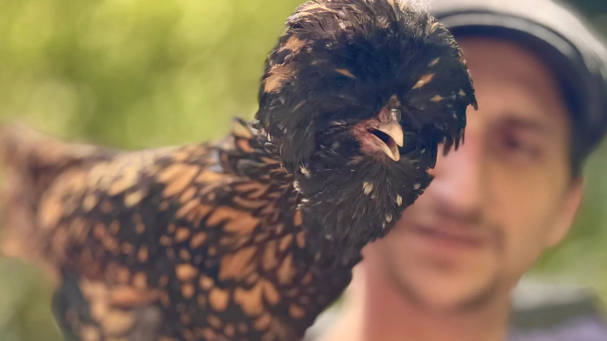
Wildlife, woodland and life in the garden.
Photograph 1 of 7

Barousse on foot
A 35-minute loop, valley hikes and mountain outings: compare duration, elevation gain and difficulty to choose a route that suits your group.
Short walk
A short climb to the ruins and their view across the valley.
StartPlace Saint-Barthélémy, BramevaqueFrom Au Moulin · about 15 min
A few steep sections; supervise children around the ruins and steps.
Open routeValley hikes
A first loop through villages, tracks and short road sections, with Sost ahead.
StartEsbareich bridge
Part of the route follows surfaced roads and tracks.
Open routeShaded paths, a passage through Mauléon-Barousse and a finish at the chasm.
StartRue de la Gleise, Esbareich
Wet, sometimes slippery rocks near the chasm; take particular care with children.
Open routeA waymarked loop through villages, woods and local architecture, passing Esbareich.
StartPlace de Palauman, Mauléon-BarousseFrom Au Moulin · about 10 min
The official start and waymarking begin in Mauléon-Barousse.
Open routeA longer woodland walk linking water, slopes and the castle.
StartMaison des Sources, Mauléon-BarousseFrom Au Moulin · about 10 min
Sustained slopes and a short road section.
Open routeA genuine half-day walk and a more athletic route above the valley.
StartMauléon-Barousse squareFrom Au Moulin · about 10 min
Carry water, wear suitable shoes and download the route for offline use.
Open routeMountain hikes
A high-level walk to a protected lake through open pastoral scenery.
StartPort de Balès car parkFrom Au Moulin · about 45 min · seasonal road
Seasonal access; dogs are prohibited in the reserve and short sections can be slippery.
Open routeA demanding outing over the ridges to Mont Né and Lake Bareilles.
StartPort de Balès car parkFrom Au Moulin · about 45 min · seasonal road
For experienced hikers; stable weather and mountain equipment are essential.
Open routeField notebook
This selection brings together clearly identified places and their official sources to help plan each visit.
Following the water
The Maison des Sources connects natural heritage, the story of water and an understanding of the valley.
Official information
Plan the visitViewpoint
The castle remains overlook the Ourse valley and offer an immediate reading of its relief.
Official information
View the official pagePrehistory
A decorated cave renowned for its prehistoric painted hands. Visits leave at set times and require booking.
Official information
Check the visitsMountain
A human-scale resort for skiing and snowshoeing in winter, walks and mountain activities in summer.
Official information
Check current conditionsHeritage
A medieval town, a cathedral and the remains of an ancient city at the foot of the Pyrenees.
Official information
Discover the Grand SiteMountain town
A thermal town with Belle Époque heritage, combining mountain access, strolling and urban life.
Official information
Explore LuchonAcross the border
The capital of the Val d’Aran adds a Spanish day of mountains, heritage, shops and restaurants.
Official information
Plan a day in VielhaThree ski areas
Le Mourtis, Luchon-Superbagnères and Baqueira-Beret offer three complementary scales and atmospheres.
Indicative drive · 35–45 min
A wooded, family-friendly ski area for skiing, snowshoeing and relaxed mountain days.
Official conditionsIndicative drive · 35–45 min to Luchon
Drive to the Crémaillère Express gondola in town, then reach the slopes in about eight minutes.
Official conditionsIndicative drive · 1 hr 10–1 hr 30
A large Val d’Aran ski area for a full day out, across the Spanish border.
Official conditionsTimes are broad estimates from Esbareich. Before leaving, check weather, traffic, lift openings, mountain-road and pass conditions, and winter-equipment requirements.
Four ways to go out
Walks, nearby swimming spots or mountain outings: choose ideas to suit the season and conditions on the day.
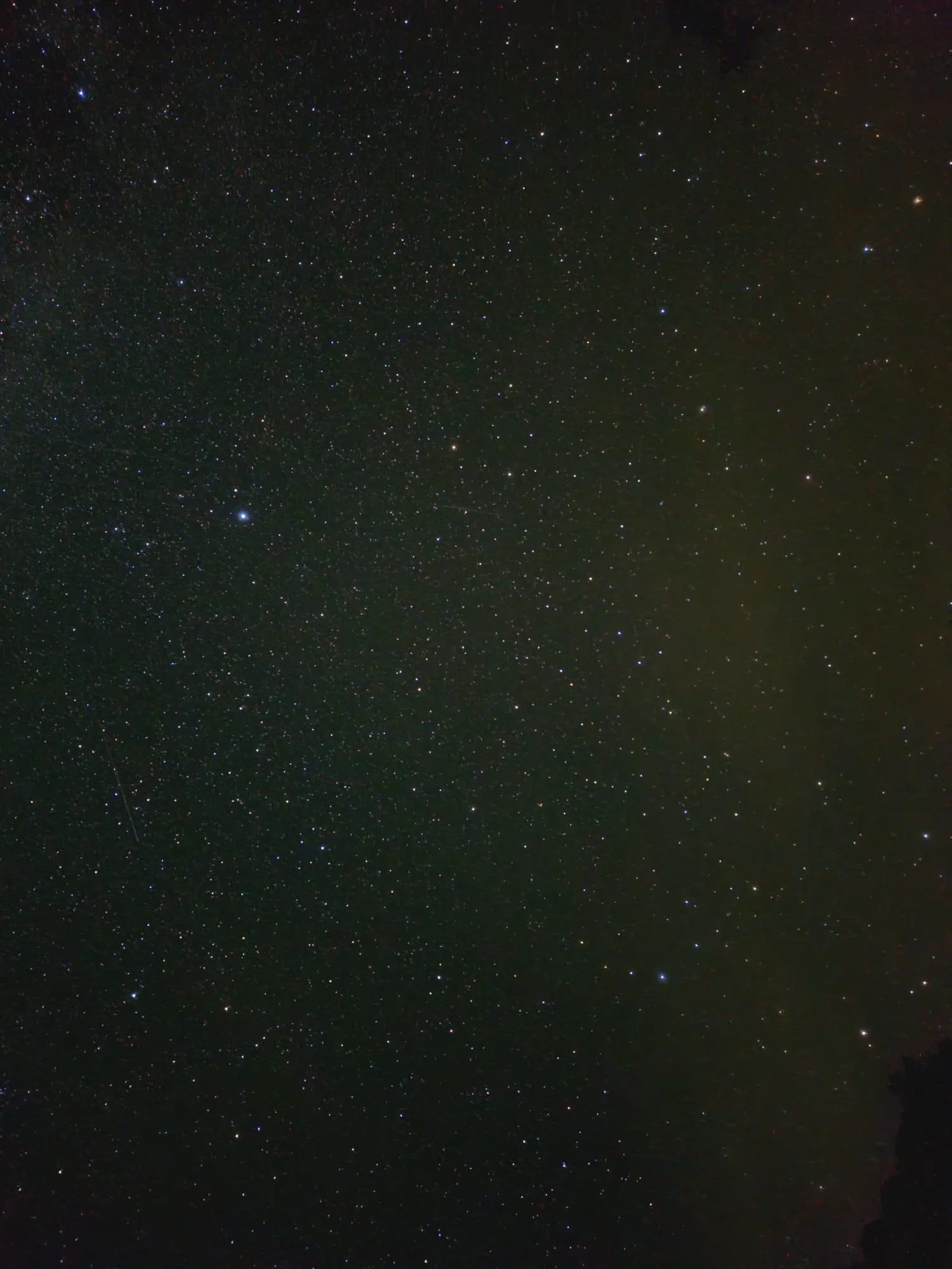
Night in the Barousse
Night lighting remains discreet around the Moulin and the sky opens above the valley. On a clear night, it is easy to slow down and spend time watching the stars.
About a two-minute drive away, a high picnic area offers an almost completely unobstructed view above the trees.
Bring a red light and warm clothing, and check the forecast and Moon phase before setting out.Taste the area
Local gastronomy lives through products and skills. The official directory is the most reliable place to begin.
The tourist office brings together producers, makers, bars and restaurants and maintains their practical details.
Cheese, honey or cured meats: take a trip through the valley to meet local producers and choose something for a shared meal at Au Moulin.
One address to know
In the lower town of Saint-Bertrand-de-Comminges, seasonal French cooking centred on local and organic produce. Booking is recommended.
Before setting out
In the mountains, current information is worth more than a fixed plan. Four simple habits prevent most surprises.
Check the forecast for Esbareich and mountain conditions. Bring water, suitable shoes, sun protection and a warm layer.
Météo-France · EsbareichCaves, activities, restaurants and events may run by reservation or by season.
Tourist officeMobile coverage is weak around the Moulin: save the address, route and useful details before leaving.
Use suitable paths and respect private land and wildlife. Keep your distance from livestock, close gates and check dog restrictions.
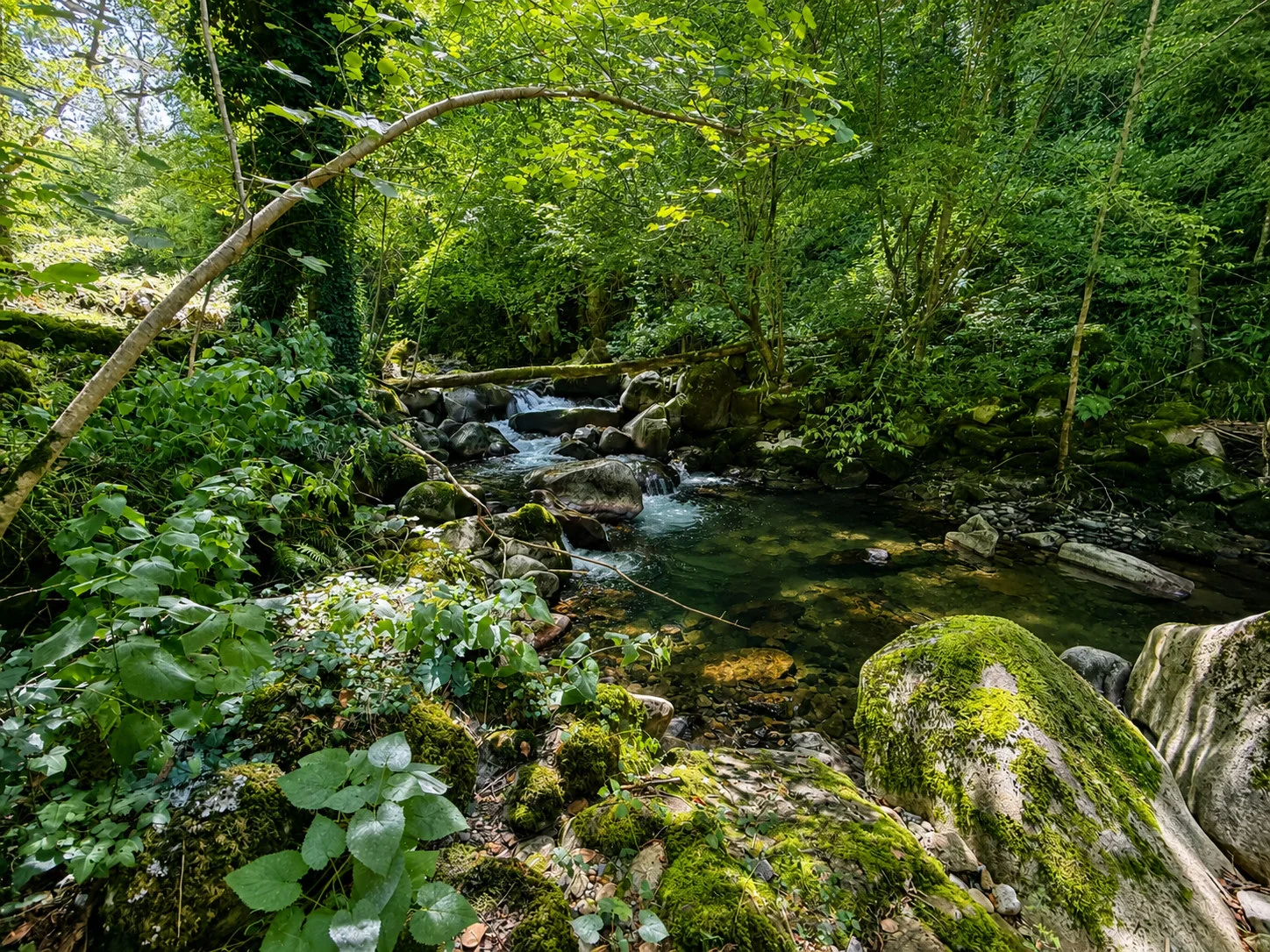
Return to the Moulin
The best plan may also be to return early, open the windows and let the rest of the day slow down.